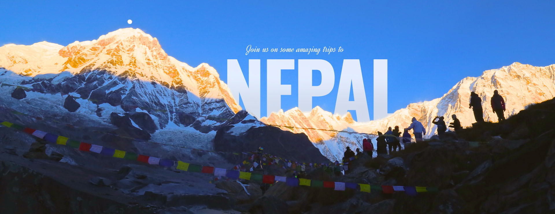
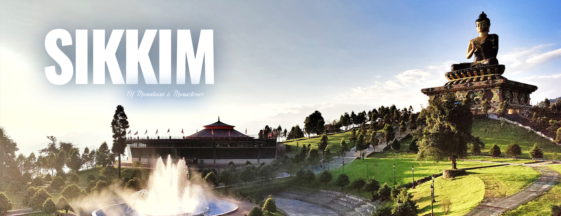
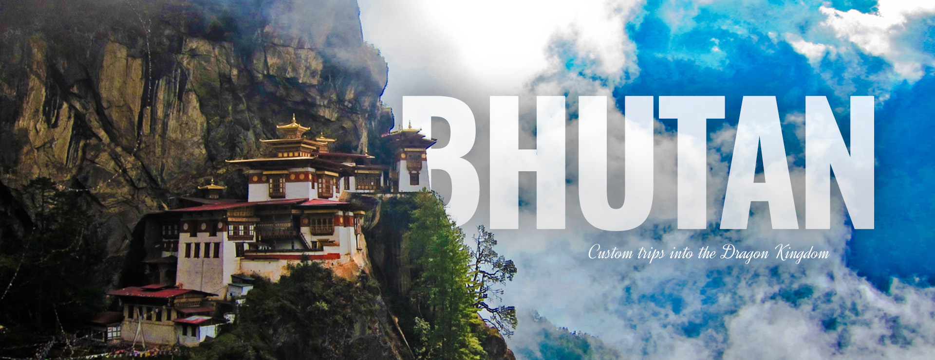
FIND YOUR JOURNEY
With over 20 years of experience in the travel industry, Samsara Journeys reputation for excellence is earned every day by providing the ultimate in value and personal attention.
Read about my Three Week Adventure in Nepal by clicking on the link below: Read More

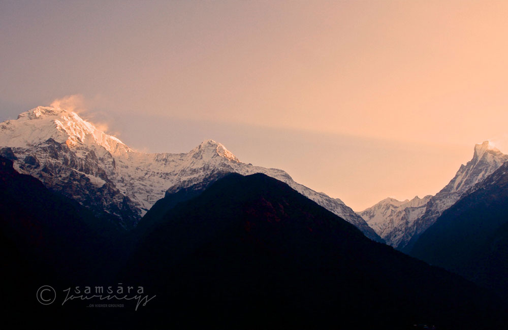
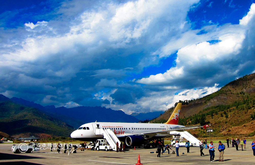
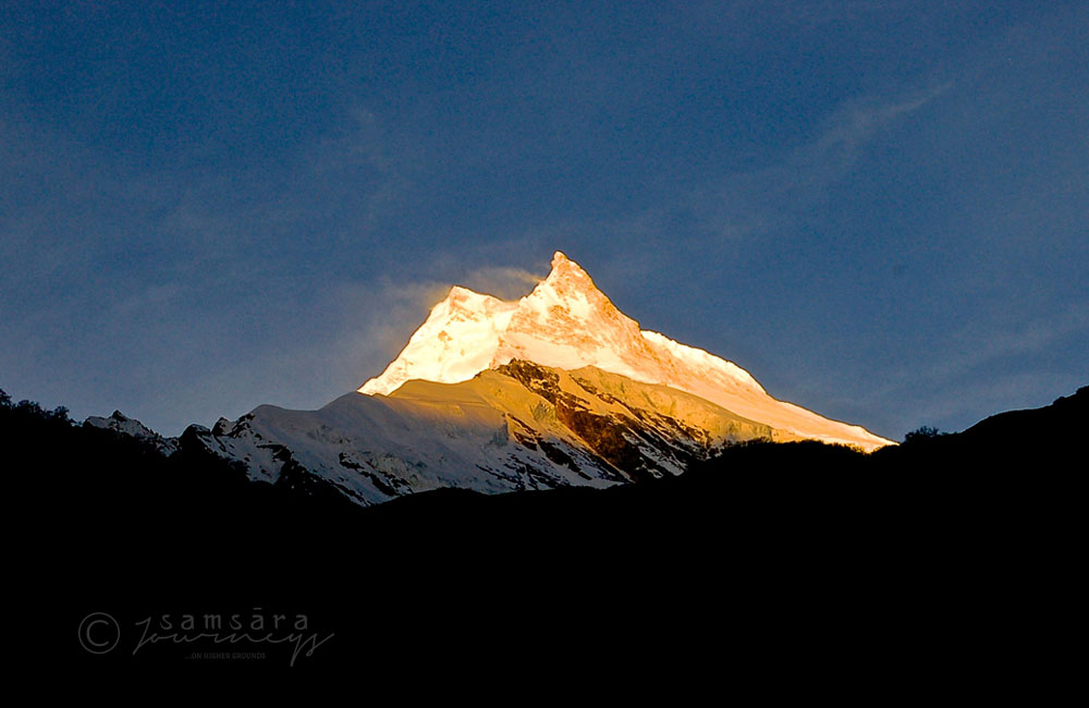
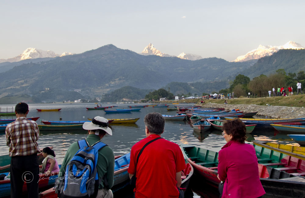
 Our travel gallery contains pictures collected over the years by us and some of our fellow travellers.